About Skyland Pixels Orlando’s Premier Aerial Services
We help construction and surveying professionals in Orlando and Central Florida gain clarity with trusted aerial mapping, inspections, and 3D modeling.
Who We Are
Company Overview
Building Data Clarity for Orlando’s Construction Industry
At Skyland Pixels, we’re more than just an aerial services provider we’re your partner in helping projects succeed. Based in Orlando, our mission is to give construction managers, surveyors, and engineers the clarity they need to make confident decisions.
With a background in technology and aviation, we bridge advanced aerial mapping with practical, real-world applications. Every deliverable whether mapping, inspections, or 3D modeling is designed to save time, reduce risk, and improve project outcomes.
Our Mission & Values
Turning Complex Sites Into Clear Decisions
At Skyland Pixels, our mission is simple: to make aerial data clear, reliable, and usable for every construction and surveying project in Orlando. We go beyond deliverables helping your team stay on schedule, reduce risk, and improve outcomes.
Accuracy you can trust
Every map and model is processed for precision, giving your team the confidence to move forward without second-guessing.
On-time delivery
We align with your schedule so progress updates arrive when you need them not weeks later.
Safety first
FAA-certified and OSHA-trained operations mean your projects stay compliant and your teams stay safe.
Partnership mindset
Collaboration drives everything we do, ensuring the data you receive solves real problems on-site.
Our Story
From Aviation Roots to Orlando’s Premier Aerial Services
Skyland Pixels was founded on a passion for flight and technology, with roots in Orlando and a drive to bring clarity to construction and surveying projects. What began as curiosity grew into a mission: helping managers, surveyors, and engineers save time, reduce risk, and make smarter decisions.

Past / Origins
Born from a lifelong connection to aviation and technology, with deep Orlando roots and a background in IT and engineering, Skyland Pixels was founded to bring clarity to complex projects using aerial data.
Why
Construction managers and surveyors faced outdated workflows, incomplete datasets, and delays. Projects slowed, confidence suffered, and critical details were missed. We saw a better way.
Today
We deliver precision mapping, inspections, and 3D modeling designed specifically for Orlando’s construction and surveying industries. Every dataset is processed with accuracy, usability, and confidence in mind.
Future
Our mission remains clear: to be Orlando’s trusted aerial partner helping construction managers, surveyors, and engineers save time, reduce risk, and make smarter decisions for every project.
INDUSTRY CERTIFICATIONS
Industry Certifications That Back Our Commitment
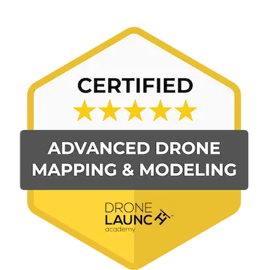
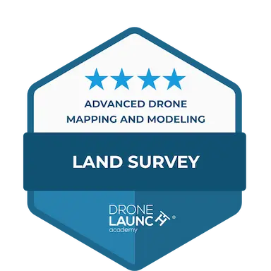
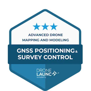
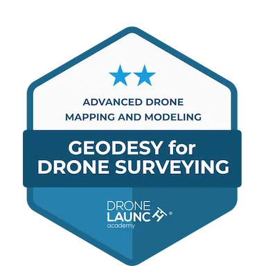
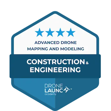
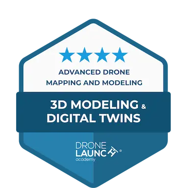
At Skyland Pixels, our certifications prove that passion is paired with precision. With credentials in land surveying, GNSS positioning, geodesy, construction engineering, and 3D modeling, we ensure every project is delivered with accuracy, safety, and real-world usability. These certifications reinforce the trust our clients place in us to provide clear, reliable aerial data for Orlando’s most demanding construction and surveying projects.
FAQs About Skyland pixels
Get in Touch About Your Next Project
We’re here to answer questions, provide estimates, or talk through how our aerial services can support your team.
